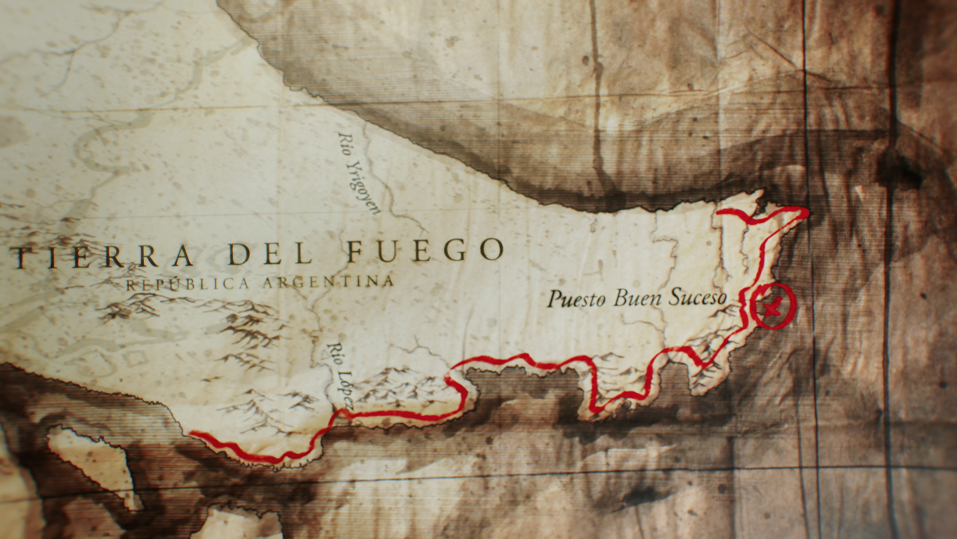
In the Expedition Islands Project (2018), which explores the Malvinas Islands, an original artwork was created using watercolors, based on official cartography acquired from the Argentine National Geographic Institute.
This artwork respected the hues of the tundra vegetation of the area and represented the turbulent seas with shades of blue.
En el Proyecto Expedición Islas (2018), que recorre las Islas Malvinas, se diseñó un arte original en acuarelas, basado en cartografía oficial adquirida en el Instituto Geográfico Nacional Argentino. Este arte respetaba los tonos de la vegetación de la tundra de la zona y los mares turbulentos representados en manchas de azul.
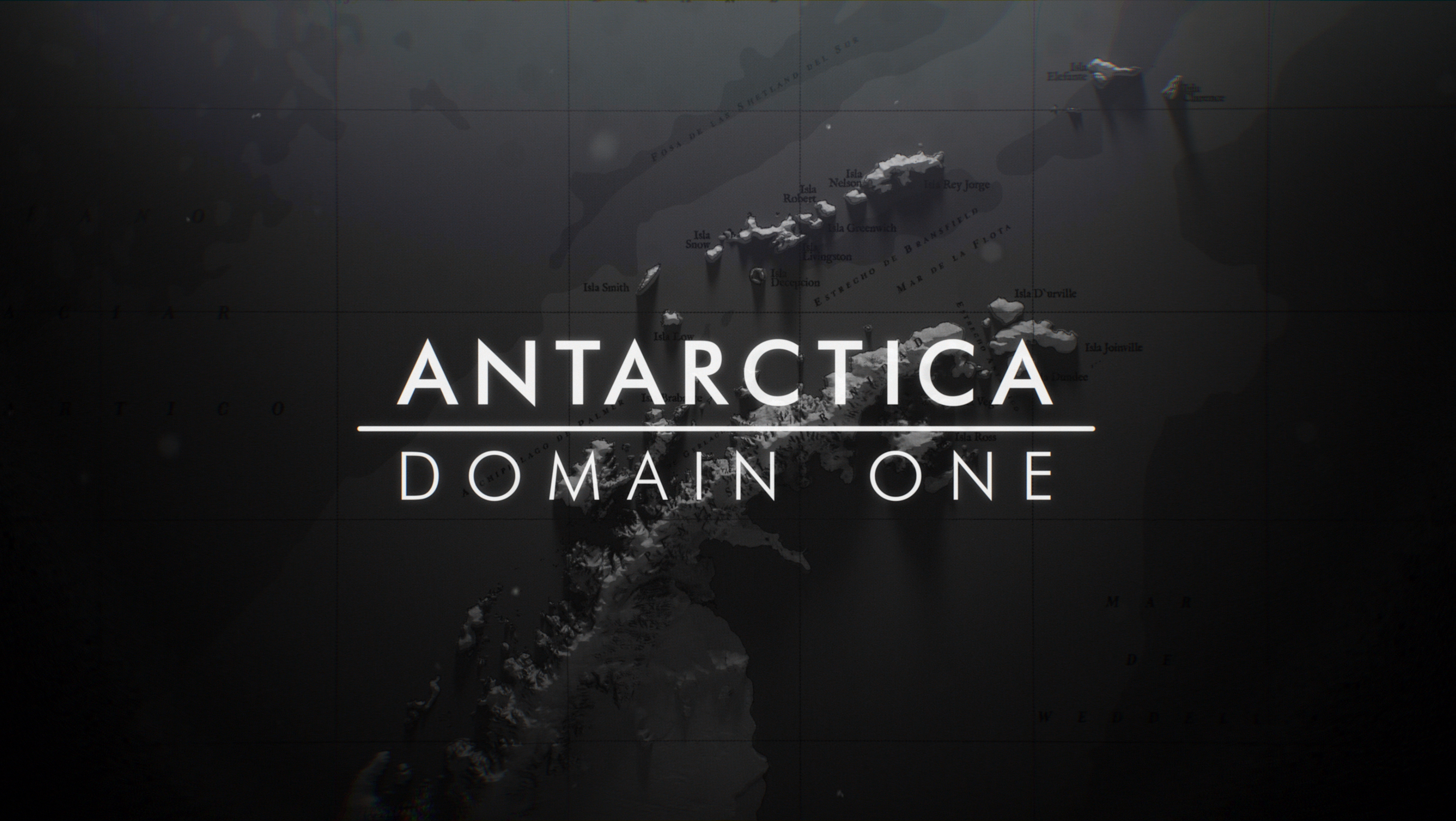
Subsequently, the artwork was scanned in high quality and post-produced in 3D, artistically simulating the elevations of the islands. Using different cameras, the various routes were produced.
Posteriormente, se escaneó el arte en alta calidad y se postprodujo en 3D, simulando artísticamente las elevaciones de las islas. Utilizando diferentes cámaras, se produjeron los diversos recorridos.


